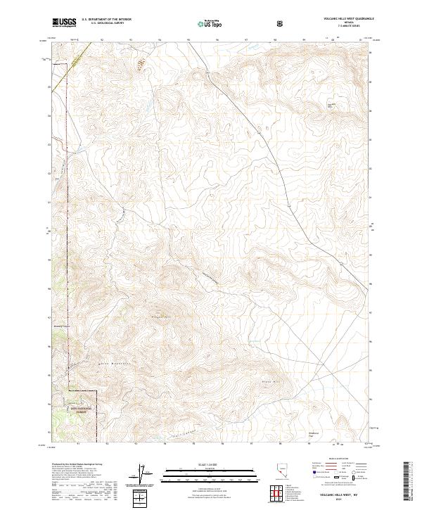
2021 Map of Volcanic Hills West
USGS Topo · Published 2021About this map
B&B Mine anchors the southwestern corner of this desert landscape, situated along the southern reaches of the White Mountains in Esmeralda County. Access to this site is traced through several specialized routes, including B&B Mine Road and the Mustang Canyn/B&B Mine road, which wind through the drainage of Mustang Canyon. This region is defined by its arid, high-altitude terrain, where the northern edge of the Inyo National Forest meets the open range.
Find a feature on this map
26 named features on this map. Tap any name to fly to it.
Don’t see what you’re looking for? This feature index may not catch every label — zoom into the map to look around manually.
Map Details
Editions of this 2021 Volcanic Hills West Map
This is the sole edition of this map. No revisions or reprints were ever made.
Other maps of this area

1909 · Hawthorne
USGS Topo · 1:250,000

1911 · Hawthorne
USGS Topo · 1:250,000

1915 · Hawthorne
USGS Topo · 1:250,000

1917 · White Mountain
USGS Topo · 1:125,000

1947 · Mariposa
USGS Topo · 1:250,000

1948 · Walker Lake
USGS Topo · 1:250,000

1948 · Mariposa
USGS Topo · 1:250,000

1957 · Walker Lake
USGS Topo · 1:250,000

1957 · Mariposa
USGS Topo · 1:250,000

1962 · Walker Lake
USGS Topo · 1:250,000