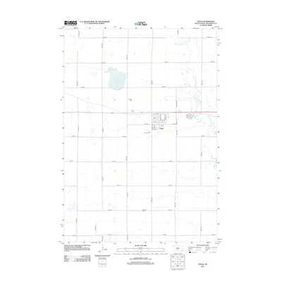
2012 Map of Volga
USGS Topo · Published 2012About this map
Volga serves as the central hub of this eastern South Dakota landscape, situated along a structured grid of rural avenues and streets. The town's local history is anchored by several sites of rest, including Hillside Cem and Trinity Cem to the north, and First Lutheran Cem on the southern edge. The meandering path of the Big Sioux River dominates the eastern section of the map, creating a distinct contrast between the natural serpentine waterway and the rigid agricultural sections that define the surrounding prairie.
Find a feature on this map
34 named features on this map. Tap any name to fly to it.
Don’t see what you’re looking for? This feature index may not catch every label — zoom into the map to look around manually.
Map Details
Editions of this 2012 Volga Map
This is the sole edition of this map. No revisions or reprints were ever made.
Other maps of this area

1953 · Watertown
USGS Topo · 1:250,000

1958 · Watertown
USGS Topo · 1:250,000

1964 · Brookings
USGS Topo · 1:24,000

1964 · Medary
USGS Topo · 1:24,000

1968 · Lake Sinai
USGS Topo · 1:24,000

1968 · Brookings NE
USGS Topo · 1:24,000

1968 · Bruce
USGS Topo · 1:24,000

1968 · Volga
USGS Topo · 1:24,000

1968 · Arlington NE
USGS Topo · 1:24,000

1968 · Sinai
USGS Topo · 1:24,000