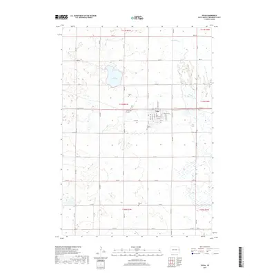
2017 Map of Volga
USGS Topo · Published 2017About this map
The town of Volga serves as the primary hub of this Brookings County landscape, positioned along the edge of the Coteau des Prairies upland. This geographic feature influence the local drainage, with the Big Sioux River meandering through the eastern portion of the survey area. Outside the street grid of the town center, which includes local thoroughfares like Kasan Ave and Industrial Dr, the land is divided by a rigorous section-line road network. Several local burial grounds, including Hillside Cem, Trinity Cem, and First Lutheran Cem, are clustered near the settlement, while the more remote Bethania Cem and Kirby Cem provide important markers for genealogists and local historians. To the northwest, Lake Goldsmith occupies a significant depression in the glaciated terrain, surrounded by numerous small wetlands and sloughs characteristic of this prairie region.
Find a feature on this map
47 named features on this map. Tap any name to fly to it.
Don’t see what you’re looking for? This feature index may not catch every label — zoom into the map to look around manually.
Map Details
Editions of this 2017 Volga Map
This is the sole edition of this map. No revisions or reprints were ever made.
Other maps of this area

1953 · Watertown
USGS Topo · 1:250,000

1958 · Watertown
USGS Topo · 1:250,000

1964 · Brookings
USGS Topo · 1:24,000

1964 · Medary
USGS Topo · 1:24,000

1968 · Lake Sinai
USGS Topo · 1:24,000

1968 · Brookings NE
USGS Topo · 1:24,000

1968 · Bruce
USGS Topo · 1:24,000

1968 · Volga
USGS Topo · 1:24,000

1968 · Arlington NE
USGS Topo · 1:24,000

1968 · Sinai
USGS Topo · 1:24,000