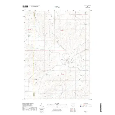
2018 Map of Volga
USGS Topo · Published 2018About this map
The Volga River carves a winding path through this corner of Clayton and Fayette Counties, where the town of Volga serves as a central point of settlement. This 2018 survey detail shows a landscape defined by significant drainage networks including Hewett Cr, Nagle Cr, and Pine Cr. The area is marked by unique topographical depressions known as German Hollow and Hells Hollow, which sit in contrast to the elevation of Pilot Knob. For those researching local family history, the map provides precise locations for several rural burial sites, including Duff Cem, Rothfusz Cem, and the distinctly named Sacred Heart Schoolhouse Yard Cem. The small community of Thomasville sits to the south along Ensign Cr, connected by a network of rural roads such as Birch Rd and Bluebird Ave that follow the region's ridge-and-valley structure.
Find a feature on this map
64 named features on this map. Tap any name to fly to it.
Don’t see what you’re looking for? This feature index may not catch every label — zoom into the map to look around manually.
Map Details
Editions of this 2018 Volga Map
This is the sole edition of this map. No revisions or reprints were ever made.
Other maps of this area

1901 · Oelwein
USGS Topo · 1:125,000

1902 · Elkader
USGS Topo · 1:125,000

1959 · Dubuque
USGS Topo · 1:250,000

1961 · Dubuque
USGS Topo · 1:250,000

1962 · Dubuque
USGS Topo · 1:250,000

1964 · Edgewood
USGS Topo · 1:24,000
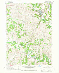
1964 · Elkader
USGS Topo · 1:24,000
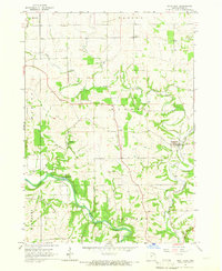
1965 · Saint Olaf
USGS Topo · 1:24,000

1965 · Elgin
USGS Topo · 1:24,000

1965 · Wadena
USGS Topo · 1:24,000