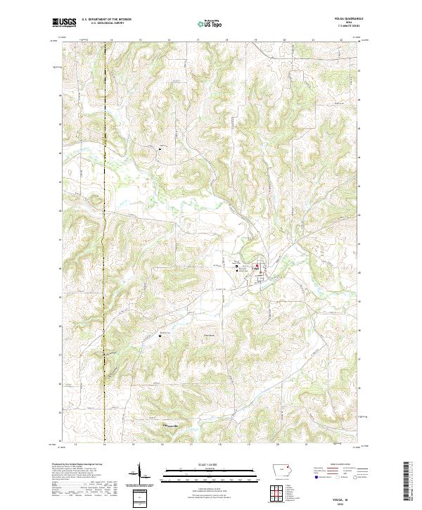
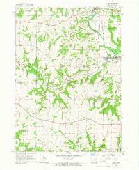
2022 Map of Volga
USGS Topo · Published 2022About this map
The Volga River winds through this Clayton County landscape, anchoring the namesake community of Volga at a central crossing. The settlement's layout is defined by residential streets such as Cass St and White St, surrounded by markers of early local history. Notable sites include the Old Stone School Cem and Sacred Heart Cem, providing clear points of interest for genealogists tracking family roots in the region.
Find a feature on this map
65 named features on this map. Tap any name to fly to it.
Don’t see what you’re looking for? This feature index may not catch every label — zoom into the map to look around manually.
Map Details
Editions of this 2022 Volga Map
This is the sole edition of this map. No revisions or reprints were ever made.
Other maps of this area

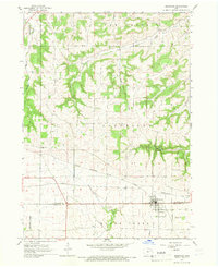
1901 · Oelwein
USGS Topo · 1:125,000

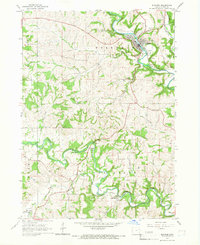
1902 · Elkader
USGS Topo · 1:125,000

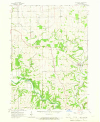
1959 · Dubuque
USGS Topo · 1:250,000

1961 · Dubuque
USGS Topo · 1:250,000

1962 · Dubuque
USGS Topo · 1:250,000
1964 · Edgewood
USGS Topo · 1:24,000
1964 · Elkader
USGS Topo · 1:24,000
1965 · Saint Olaf
USGS Topo · 1:24,000
1965 · Elgin
USGS Topo · 1:24,000
1965 · Wadena
USGS Topo · 1:24,000