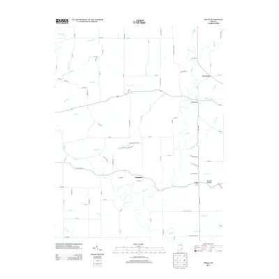
2013 Map of Volga
USGS Topo · Published 2013About this map
Big Cr and its numerous tributaries, including Neils Cr and Walton Cr, carve a intricate drainage pattern through this Jefferson County landscape. Small rural clusters define the human geography of the area, with the settlement of Lancaster situated near the confluence of Middle Fork Cr and Big Cr. The road network consists of a dense grid of county routes, such as Co RD-950 and W Deputy Pike RD, which connect family farms to local centers like Volga and Wakefield.
Find a feature on this map
86 named features on this map. Tap any name to fly to it.
Don’t see what you’re looking for? This feature index may not catch every label — zoom into the map to look around manually.
Map Details
Editions of this 2013 Volga Map
This is the sole edition of this map. No revisions or reprints were ever made.
Other maps of this area

1939 · Madison West
USGS Topo · 1:24,000

1948 · Madison West
USGS Topo · 1:24,000

1953 · Madison West
USGS Topo · 1:24,000

1956 · Volga
USGS Topo · 1:24,000

1956 · Blocher
USGS Topo · 1:24,000

1956 · Kent
USGS Topo · 1:24,000

1956 · Deputy
USGS Topo · 1:24,000

1956 · Clifty Falls
USGS Topo · 1:24,000

1956 · Louisville
USGS Topo · 1:250,000

1959 · San Jacinto
USGS Topo · 1:24,000