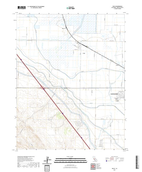
2021 Map of Volta
USGS Topo · Published 2021About this map
The Central Valley landscape around Volta is defined by an intensive network of water management and transportation infrastructure. Major arteries like the Governor Edmund G Brown California Aqueduct and the Delta-Mendota Canal dominate the terrain, reflecting the massive scale of 21st-century agricultural irrigation and water transfer systems. The mapping also highlights the complex drainage of the San Luis Wasteway and the winding course of Los Banos Creek.
Find a feature on this map
52 named features on this map. Tap any name to fly to it.
Don’t see what you’re looking for? This feature index may not catch every label — zoom into the map to look around manually.
Map Details
Editions of this 2021 Volta Map
This is the sole edition of this map. No revisions or reprints were ever made.
Other maps of this area

1913 · Panoche
USGS Topo · 1:125,000

1919 · San Luis Ranch
USGS Topo · 1:31,680

1919 · Ingomar
USGS Topo · 1:31,680

1920 · Pacheco Pass
USGS Topo · 1:62,500

1920 · Carrisalito Spring
USGS Topo · 1:31,680

1921 · Volta
USGS Topo · 1:31,680

1921 · Los Banos
USGS Topo · 1:31,680

1922 · Charleston School
USGS Topo · 1:31,680

1922 · Quien Sabe
USGS Topo · 1:62,500

1922 · San Luis Creek
USGS Topo · 1:31,680