2024 Map of Voltaire
USGS Topo · Published 2024About this map
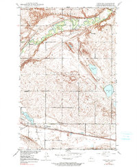
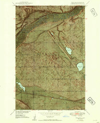
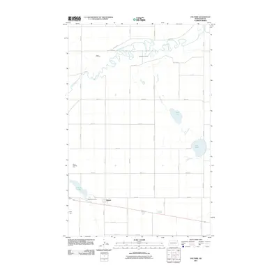
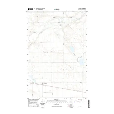
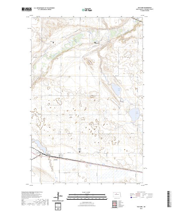
The Souris River meanders through the northern section of this McHenry County landscape, carving a distinct valley through the prairie. In the south, the settlement of Voltaire sits near the crossing of Blacktail Coulee, a geographical focal point for the surrounding agricultural grid. This area is characterized by significant conservation efforts, notably the McHenry County Waterfowl Production Area, which preserves vital wetlands and habitats. Genealogists will find three distinct burial sites across the township, including Walley Cem in the north, Westgaard Cem near the river bluffs, and Hjerdahl Lutheran Cem further south. The hydrology is dominated by seasonal drainage and small basins like Stink Lake and Lake Hester, illustrating the post-glacial topography of the North Dakota plains.
Find a feature on this map
37 named features on this map. Tap any name to fly to it.
Don’t see what you’re looking for? This feature index may not catch every label — zoom into the map to look around manually.
Map Details
Editions of this 2024 Voltaire Map
This is the sole edition of this map. No revisions or reprints were ever made.
Historical Maps of Voltaire Through Time
7 maps found