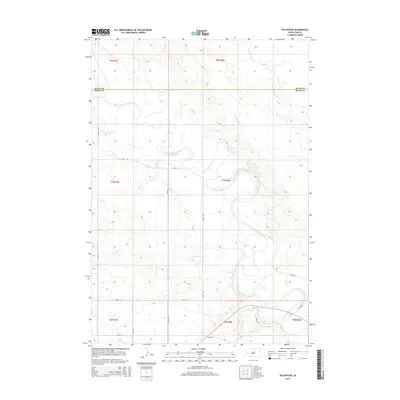
2015 Map of Volunteer
USGS Topo · Published 2015About this map
Volunteer serves as a central anchor in this Western South Dakota landscape, positioned where the Belle Fourche River snakes through the high plains. The map details a complex drainage network that defines the local geography, including the winding paths of Ninemile Cr, Dry Cr, and Dry Fourmile Cr. These waterways create a distinct relief against the township and range grid, illustrating how the natural topography has influenced rural land division between Butte and Meade counties. A sparse but essential road network, featuring Wetz Rd and 4 Mile Rd, connects the isolated homesteads and ranch lands that characterize this region. Near the southern boundary, the arrival of Bear Butte Cr adds another significant hydrological feature to this prairie environment, reflecting the quiet, agricultural character of the area in the early 21st century.
Find a feature on this map
22 named features on this map. Tap any name to fly to it.
Don’t see what you’re looking for? This feature index may not catch every label — zoom into the map to look around manually.
Map Details
Editions of this 2015 Volunteer Map
This is the sole edition of this map. No revisions or reprints were ever made.
Other maps of this area

1893 · Rapid
USGS Topo · 1:125,000

1898 · Rapid
USGS Topo · 1:125,000

1903 · Rapid
USGS Topo · 1:125,000

1906 · Vale
USGS Topo · 1:62,500

1913 · Newell
USGS Topo · 1:125,000

1951 · Volunteer
USGS Topo · 1:24,000

1951 · Volunteer SE
USGS Topo · 1:24,000

1951 · Vale SE
USGS Topo · 1:24,000

1951 · Vale NE
USGS Topo · 1:24,000

1951 · Vale
USGS Topo · 1:62,500