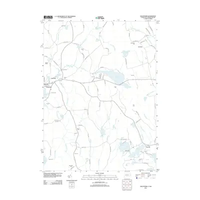
2012 Map of Voluntown
USGS Topo · Published 2012About this map
Beach Pond straddles the border between Connecticut and Rhode Island, anchoring a landscape defined by significant water systems and early family settlements. This 2012 survey details the transition from the village center of Voluntown to the surrounding rural reaches of Escoheag and Rockville. The area is notably dense with genealogical sites, featuring numerous family-named cemeteries such as Old Kinne Cem, Gallup Cem, and Kennedy Cem that trace the lineage of early inhabitants near Gallup Farm.
Find a feature on this map
126 named features on this map. Tap any name to fly to it.
Don’t see what you’re looking for? This feature index may not catch every label — zoom into the map to look around manually.
Map Details
Editions of this 2012 Voluntown Map
This is the sole edition of this map. No revisions or reprints were ever made.
Other maps of this area

1889 · Stonington
USGS Topo · 1:62,500

1889 · Charlestown
USGS Topo · 1:62,500

1889 · Moosup
USGS Topo · 1:62,500

1890 · Kent
USGS Topo · 1:62,500

1893 · Moosup
USGS Topo · 1:62,500

1893 · Stonington
USGS Topo · 1:62,500

1894 · Kent
USGS Topo · 1:62,500

1919 · Charlestown
USGS Topo · 1:62,500

1920 · Moosup
USGS Topo · 1:62,500

1921 · Charlestown
USGS Topo · 1:62,500