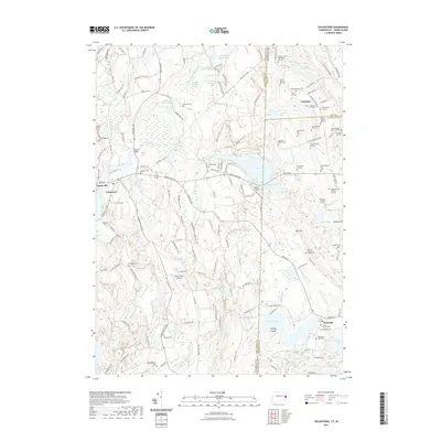
2021 Map of Voluntown
USGS Topo · Published 2021About this map
Pachaug State Forest dominates this New England landscape, where the Pachaug River and Denison Brook weave through a network of wetlands and wooded ridges. This area of eastern Connecticut and western Rhode Island is characterized by a high concentration of family burial plots and small community cemeteries, such as the Kennedy Cem, Gallup Cem, and the Caswell Plot. These landmarks offer a fine-grained view of the region's genealogical history, marking the footprints of early settler families across the terrain.
Find a feature on this map
153 named features on this map. Tap any name to fly to it.
Don’t see what you’re looking for? This feature index may not catch every label — zoom into the map to look around manually.
Map Details
Editions of this 2021 Voluntown Map
This is the sole edition of this map. No revisions or reprints were ever made.
Other maps of this area

1889 · Stonington
USGS Topo · 1:62,500

1889 · Charlestown
USGS Topo · 1:62,500

1889 · Moosup
USGS Topo · 1:62,500

1890 · Kent
USGS Topo · 1:62,500

1893 · Moosup
USGS Topo · 1:62,500

1893 · Stonington
USGS Topo · 1:62,500

1894 · Kent
USGS Topo · 1:62,500

1919 · Charlestown
USGS Topo · 1:62,500

1920 · Moosup
USGS Topo · 1:62,500

1921 · Charlestown
USGS Topo · 1:62,500