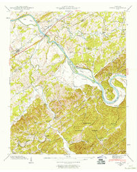
1941 Map of Vonore
USGS Topo · Published 1960About this map
Fort Loudon and an Indian Mound overlook the confluence where the Tellico River meets the Little Tennessee River, marking a landscape deeply layered with prehistoric and colonial significance. In the early 1940s, this region remained a river-driven economy, evidenced by the Niles Ferry Toll Bridge and Bacon Ferry providing critical crossings before the valley's topography was altered by later water management projects.
Find a feature on this map
67 named features on this map. Tap any name to fly to it.
Don’t see what you’re looking for? This feature index may not catch every label — zoom into the map to look around manually.
Map Details
Editions of this 1941 Vonore Map
5 editions found
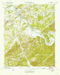
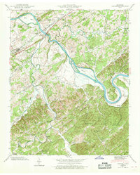
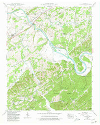
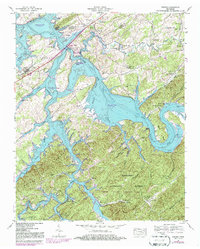
Other maps of this area

1893 · Murphy
USGS Topo · 1:125,000

1895 · Loudon
USGS Topo · 1:125,000

1914 · Murphy
USGS Topo · 1:125,000
1933 · Haw Knob
USGS Topo · 1:48,000
1933 · Whiteoak Flats
USGS Topo · 1:24,000
1933 · Rafter
USGS Topo · 1:24,000
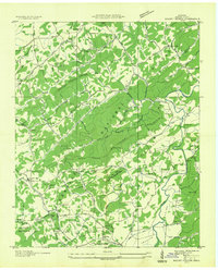
1934 · Mount Vernon
USGS Topo · 1:24,000
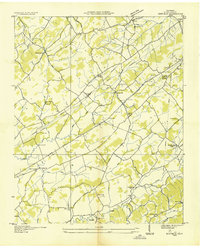
1935 · Binfield
USGS Topo · 1:24,000
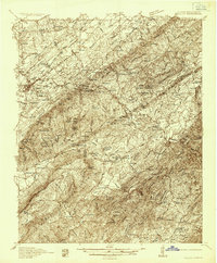
1935 · Tellico
USGS Topo · 1:48,000
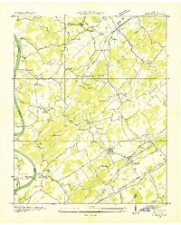
1935 · Meadow
USGS Topo · 1:24,000