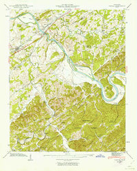
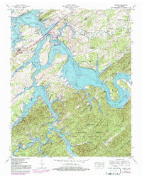
1941 Map of Vonore
USGS Topo · Published 1963About this map
The Little Tennessee River and Tellico River dominate this 1941 landscape, winding through a network of islands and historical river crossings before modern dam projects altered the valley. The map documents the strategic importance of the area, featuring the site of Fort Loudon and the Niles Ferry Toll Bridge near McGhee. Evidence of the region’s early agriculture and settlement patterns is visible through family landmarks like Shaddon Mill and numerous small cemeteries such as Toqua Cem and Henley Cem.
Find a feature on this map
79 named features on this map. Tap any name to fly to it.
Don’t see what you’re looking for? This feature index may not catch every label — zoom into the map to look around manually.
Map Details
Editions of this 1941 Vonore Map
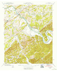
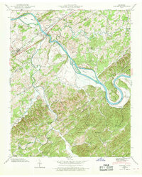
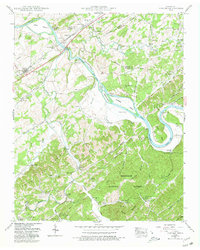
5 editions found
Other maps of this area

1893 · Murphy
USGS Topo · 1:125,000

1895 · Loudon
USGS Topo · 1:125,000

1914 · Murphy
USGS Topo · 1:125,000

1933 · Haw Knob
USGS Topo · 1:48,000

1933 · Whiteoak Flats
USGS Topo · 1:24,000

1933 · Rafter
USGS Topo · 1:24,000

1934 · Mount Vernon
USGS Topo · 1:24,000

1935 · Binfield
USGS Topo · 1:24,000

1935 · Tellico
USGS Topo · 1:48,000

1935 · Meadow
USGS Topo · 1:24,000