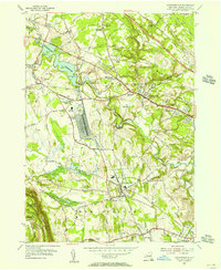
1954 Map of Voorheesville
USGS Topo · Published 1956About this map
The U S Military Reservation Schenectady General Depot dominates the central landscape of this 1950s survey, marking a period of significant logistical presence in Albany County. To the west, the massive Watervliet Reservoir sits fed by the Bozen Kill, while the Normans Kill winds through the heart of Guilderland. This era shows a transition from rural crossroads like McCormack Corners and Hartmans Corners to the growing suburban pockets of Westmere and Slingerlands.
Find a feature on this map
72 named features on this map. Tap any name to fly to it.
Don’t see what you’re looking for? This feature index may not catch every label — zoom into the map to look around manually.
Map Details
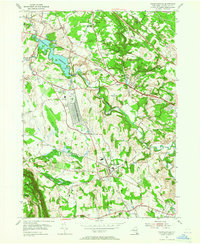
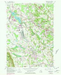
Editions of this 1954 Voorheesville Map
3 editions found
Other maps of this area

1893 · Schenectady
USGS Topo · 1:62,500

1893 · Albany
USGS Topo · 1:62,500

1895 · Albany
USGS Topo · 1:62,500

1895 · Schenectady
USGS Topo · 1:62,500

1895 · Amsterdam
USGS Topo · 1:62,500

1898 · Schenectady
USGS Topo · 1:62,500

1898 · Albany
USGS Topo · 1:62,500

1900 · Berne
USGS Topo · 1:62,500

1903 · Berne
USGS Topo · 1:62,500

1927 · Albany
USGS Topo · 1:62,500