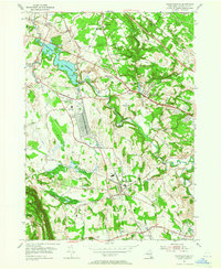
1954 Map of Voorheesville
USGS Topo · Published 1965About this map
Watervliet Reservoir serves as a dominant central landmark in this mid-century view of Albany County, where the transition from agricultural valley to the dramatic Helderberg Escarpment is clearly defined. The landscape is a network of small hamlets like Guilderland Center and Voorheesville, interconnected by historic routes such as the Western Turnpike. A massive industrial and logistical presence is established by the U S Military Reservation Schenectady General Depot, positioned near the tracks of the New York Central.
Find a feature on this map
52 named features on this map. Tap any name to fly to it.
Don’t see what you’re looking for? This feature index may not catch every label — zoom into the map to look around manually.
Map Details
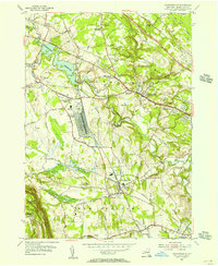
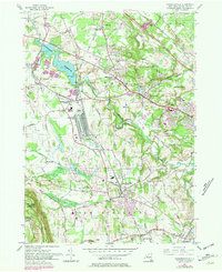
Editions of this 1954 Voorheesville Map
3 editions found
Other maps of this area

1893 · Schenectady
USGS Topo · 1:62,500

1893 · Albany
USGS Topo · 1:62,500

1895 · Albany
USGS Topo · 1:62,500

1895 · Schenectady
USGS Topo · 1:62,500

1895 · Amsterdam
USGS Topo · 1:62,500

1898 · Schenectady
USGS Topo · 1:62,500

1898 · Albany
USGS Topo · 1:62,500

1900 · Berne
USGS Topo · 1:62,500

1903 · Berne
USGS Topo · 1:62,500

1927 · Albany
USGS Topo · 1:62,500