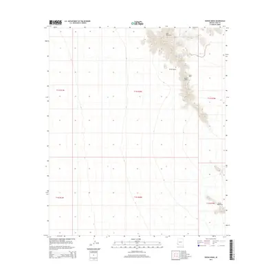
2014 Map of Vopoki Ridge
USGS Topo · Published 2014About this map
Vopoki Ridge serves as the central spine of this desert landscape in southern Arizona, situated where the Gila Mountains descend toward the Davis Plain. The map documents a rugged, arid environment shaped by deep drainage features like Spook Canyon and isolated water sources such as Spook Tank. To the southeast, the terrain transitions into the Butler Mountains, illustrating the complex geological formations of the Sonoran Desert. This 2014 survey captures the region's sparse infrastructure, defined largely by the Public Land Survey System boundaries including t11s r20w and t12s r20w, which organize the vast open reaches of Yuma County.
Find a feature on this map
12 named features on this map. Tap any name to fly to it.
Don’t see what you’re looking for? This feature index may not catch every label — zoom into the map to look around manually.
Map Details
Editions of this 2014 Vopoki Ridge Map
This is the sole edition of this map. No revisions or reprints were ever made.
Other maps of this area

1926 · Fortuna
USGS Topo · 1:62,500

1926 · Wellton
USGS Topo · 1:62,500

1929 · Fortuna
USGS Topo · 1:62,500

1929 · Wellton
USGS Topo · 1:62,500

1942 · Yuma
USGS Topo · 1:250,000

1954 · El Centro
USGS Topo · 1:250,000

1955 · El Centro
USGS Topo · 1:250,000

1958 · El Centro
USGS Topo · 1:250,000

1961 · El Centro
USGS Topo · 1:250,000

1964 · El Centro
USGS Topo · 1:250,000