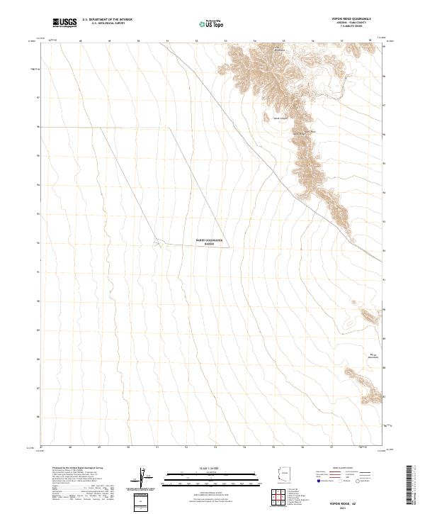
2021 Map of Vopoki Ridge
USGS Topo · Published 2021About this map
Vopoki Ridge dominates the high ground of this southwestern Arizona landscape, serving as a prominent north-south landform between the Gila Mountains and the lower Butler Mountains to the southeast. The 2021 survey illustrates a region defined by its arid topography, where the steep relief of Spook Canyon drops away into the expansive, flat reach of Davis Plain. The map provides a precise view of the Public Land Survey System grid across Yuma County, marking the township and range boundaries of t11s r20w and t12s r20w. While modern infrastructure is sparse, the map documents the essential desert tracks and drainage patterns that have historically dictated movement through these mountain passes and plains.
Find a feature on this map
11 named features on this map. Tap any name to fly to it.
Don’t see what you’re looking for? This feature index may not catch every label — zoom into the map to look around manually.
Map Details
Editions of this 2021 Vopoki Ridge Map
This is the sole edition of this map. No revisions or reprints were ever made.
Other maps of this area

1926 · Fortuna
USGS Topo · 1:62,500

1926 · Wellton
USGS Topo · 1:62,500

1929 · Fortuna
USGS Topo · 1:62,500

1929 · Wellton
USGS Topo · 1:62,500

1942 · Yuma
USGS Topo · 1:250,000

1954 · El Centro
USGS Topo · 1:250,000

1955 · El Centro
USGS Topo · 1:250,000

1958 · El Centro
USGS Topo · 1:250,000

1961 · El Centro
USGS Topo · 1:250,000

1964 · El Centro
USGS Topo · 1:250,000