
1961 Map of Vulture Mountains
USGS Topo · Published 1963About this map
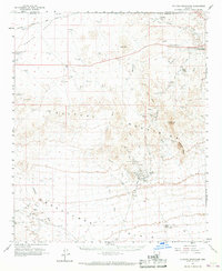
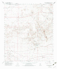
Mining operations and desert hydrology define this landscape on the edge of the Vulture Mountains and the Hassayampa Plain. The legendary Vulture Mine stands out as a focal point of activity, surrounded by dozens of smaller prospects including the Lucky Cuss Mine and Red Cloud Mine. This network of mineral extraction is supported by a rugged infrastructure of jeep trails and numerous water tanks like Six-shooter Tank and Lucky Day Tank, essential for survival and industry in the arid terrain.
Find a feature on this map
55 named features on this map. Tap any name to fly to it.
Don’t see what you’re looking for? This feature index may not catch every label — zoom into the map to look around manually.
Map Details
Editions of this 1961 Vulture Mountains Map
3 editions found
Other maps of this area

1887 · Prescott
USGS Topo · 1:250,000

1892 · Prescott
USGS Topo · 1:250,000

1903 · Congress
USGS Topo · 1:125,000

1904 · Congress
USGS Topo · 1:125,000

1923 · Signal
USGS Topo · 1:250,000

1942 · Signal
USGS Topo · 1:250,000

1942 · Vicksburg
USGS Topo · 1:250,000

1947 · Wagoner
USGS Topo · 1:62,500

1948 · Wagoner
USGS Topo · 1:63,360

1950 · Wagoner
USGS Topo · 1:62,500