
1954 Map of Vya
USGS Topo · Published 1967About this map
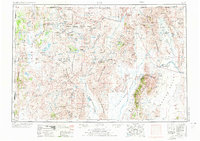
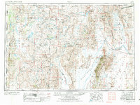
The Sheldon National Antelope Refuge dominates the high northwestern corner of this 1954 survey, preserving a remote basin-and-range landscape at the junction of Nevada, Oregon, and California. The map captures a transition between wildlife conservation and Cold War military utility, shown by the expansive U S Naval Gunnery Range situated south of the Summit Lake Indian Reservation. This era of the Nevada desert is defined by isolated ranching outposts such as Vya, Soldier Meadow Ranch, and Thousand Creek Ranch, which relied on scattered water sources like Bog Hot Springs and Reservoir and Emigrant Spring. Prospectors still worked the mineral-rich mountains, evidenced by the Cherry Gulch Mine and the Iron King Mine near the Trout Creek Mountains. The vast drainage of the Quinn River and the stark expanse of the Black Rock Desert provide a grounding look at the region before modern development.
Find a feature on this map
176 named features on this map. Tap any name to fly to it.
Don’t see what you’re looking for? This feature index may not catch every label — zoom into the map to look around manually.
Map Details
Editions of this 1954 Vya Map
3 editions found
Other maps of this area

1882 · Paradise
USGS Topo · 1:250,000

1886 · Alturas
USGS Topo · 1:250,000

1886 · Honey Lake
USGS Topo · 1:250,000

1886 · Disaster
USGS Topo · 1:250,000

1886 · Granite Range
USGS Topo · 1:250,000

1889 · Long Valley
USGS Topo · 1:250,000

1891 · Honey Lake
USGS Topo · 1:250,000

1892 · Alturas
USGS Topo · 1:250,000

1893 · Paradise
USGS Topo · 1:250,000

1893 · Honey Lake
USGS Topo · 1:250,000