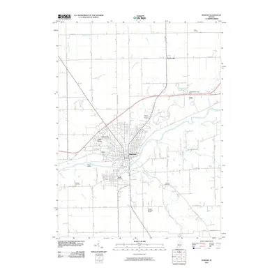
2010 Map of Wabash
USGS Topo · Published 2010About this map
The Wabash River carves through the center of this Indiana landscape, defining the layout of the city of Wabash and its surrounding residential developments. The 2010 terrain shows a dense network of watercourses feeding into the river, including Charley Creek, Helm Creek, and Treaty Creek. This survey captures the expansion of suburban-style pockets such as South Haven, Sunnymede, and Valley Brook, which contrast with the established grid of the central city.
Find a feature on this map
69 named features on this map. Tap any name to fly to it.
Don’t see what you’re looking for? This feature index may not catch every label — zoom into the map to look around manually.
Map Details
Editions of this 2010 Wabash Map
This is the sole edition of this map. No revisions or reprints were ever made.
Other maps of this area

1950 · Lagro
USGS Topo · 1:24,000

1951 · Lagro
USGS Topo · 1:24,000

1951 · Richvalley
USGS Topo · 1:24,000

1952 · Wabash
USGS Topo · 1:24,000

1953 · La Fontaine
USGS Topo · 1:24,000

1953 · Somerset
USGS Topo · 1:24,000

1953 · Peoria
USGS Topo · 1:24,000

1953 · Muncie
USGS Topo · 1:250,000

1956 · Muncie
USGS Topo · 1:250,000

1961 · Roann
USGS Topo · 1:24,000