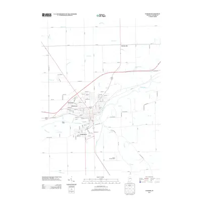
2013 Map of Wabash
USGS Topo · Published 2013About this map
The Wabash River carves a deep valley through this north-central Indiana landscape, defining the layout of the city and its surrounding neighborhoods. Residential expansion is evident in developed areas like Sunnymede, Valley Brook, and South Haven, which sit just beyond the river's immediate banks. The map documents the city’s water management and natural drainage, from the Sharp Ditch and Peebles Ditch in the rural outskirts to the meandering paths of Treaty Cr and Charley Cr.
Find a feature on this map
91 named features on this map. Tap any name to fly to it.
Don’t see what you’re looking for? This feature index may not catch every label — zoom into the map to look around manually.
Map Details
Editions of this 2013 Wabash Map
This is the sole edition of this map. No revisions or reprints were ever made.
Other maps of this area

1950 · Lagro
USGS Topo · 1:24,000

1951 · Lagro
USGS Topo · 1:24,000

1951 · Richvalley
USGS Topo · 1:24,000

1952 · Wabash
USGS Topo · 1:24,000

1953 · La Fontaine
USGS Topo · 1:24,000

1953 · Somerset
USGS Topo · 1:24,000

1953 · Peoria
USGS Topo · 1:24,000

1953 · Muncie
USGS Topo · 1:250,000

1956 · Muncie
USGS Topo · 1:250,000

1961 · Roann
USGS Topo · 1:24,000