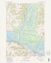
1974 Map of Wabasha North
USGS Topo · Published 1976About this map
Wabasha and Reads Landing anchor this mid-1970s survey of the river confluence where the Chippewa River enters the Upper Mississippi River. The landscape is dominated by the intricate wetlands of the Tiffany State Public Hunting Grounds, a maze of sloughs including Battle Slough, Dark Slough, and Swinger Slough that illustrate the complex hydrology before the arrival of the modern Burlington Northern and Milwaukee St Paul and Pacific rail lines. On the Wisconsin side, small settlements like Nelson and Trevino sit near the edge of these bottomlands, while the Minnesota shore rises into steep bluffs and coulees such as Schmidt Coulee and Brewery Coulee. The map captures a high level of detail for local historians, from the Riverview Cem and St Felix Cem to the Camp Lacupolis recreation area near the southern tip of Lake Pepin.
Find a feature on this map
68 named features on this map. Tap any name to fly to it.
Don’t see what you’re looking for? This feature index may not catch every label — zoom into the map to look around manually.
Map Details
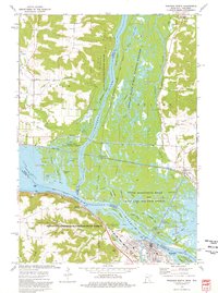
Editions of this 1974 Wabasha North Map
2 editions found
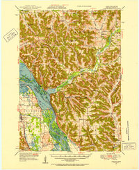
Other maps of this area

1929 · Durand
USGS Topo · 1:62,500

1932 · Wabasha
USGS Topo · 1:62,500

1932 · Durand
USGS Topo · 1:62,500

1932 · Alma
USGS Topo · 1:62,500

1935 · Arkansaw
USGS Topo · 1:48,000

1941 · Arkansaw
USGS Topo · 1:62,500

1942 · Arkansaw
USGS Topo · 1:62,500
1950 · Alma
USGS Topo · 1:62,500

1951 · Wabasha
USGS Topo · 1:62,500

1953 · Saint Paul
USGS Topo · 1:250,000