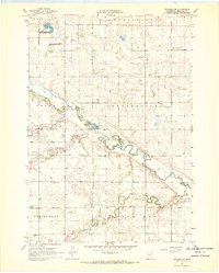
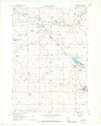
1967 Map of Wabasso SW
USGS Topo · Published 1969About this map
The Cottonwood River meanders across this rural landscape in Redwood County, defining the agricultural character of the late 1960s. The terrain is marked by a network of small watercourses including Lone Tree Creek and Plum Creek, which feed into the larger river system. Toward the northwest, the Gales State Wildlife Management Area surrounds Gales Lake, preserving a pocket of natural habitat amidst the gridded sections of Gales and Johnsonville townships.
Find a feature on this map
17 named features on this map. Tap any name to fly to it.
Don’t see what you’re looking for? This feature index may not catch every label — zoom into the map to look around manually.
Map Details
Editions of this 1967 Wabasso SW Map
This is the sole edition of this map. No revisions or reprints were ever made.
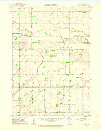
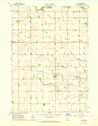
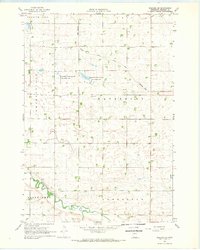
Other maps of this area

1953 · New Ulm
USGS Topo · 1:250,000

1957 · New Ulm
USGS Topo · 1:250,000

1958 · New Ulm
USGS Topo · 1:250,000
1962 · Milroy SE
USGS Topo · 1:24,000
1962 · Milroy
USGS Topo · 1:24,000

1967 · New Ulm
USGS Topo · 1:250,000
1967 · Wabasso SE
USGS Topo · 1:24,000
1967 · Wabasso
USGS Topo · 1:24,000
1967 · Walnut Grove
USGS Topo · 1:24,000
1967 · Tracy East
USGS Topo · 1:24,000