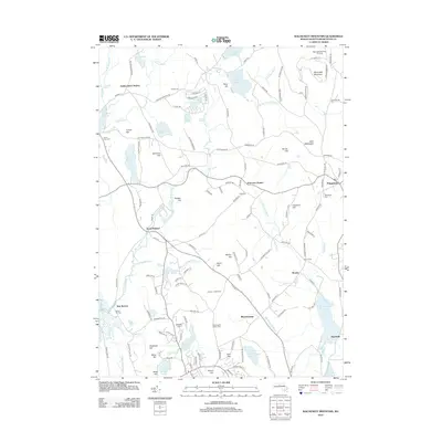
2012 Map of Wachusett Mountain
USGS Topo · Published 2012About this map
Wachusett Mountain dominates the northeast corner of this central Massachusetts landscape, overlooking a series of agricultural and residential settlements that defined the early 21st-century character of Worcester County. The terrain transitions from the prominent peaks of Little Wachusett and Brown Hill down to the complex hydrography of the W Br Ware River and E Br Ware River. Local history is anchored by several distinct burying grounds, including Rural Glen Cem, Woodlawn Cem, and Goose Hill Cem, which reflect the long-standing community centers of Princeton, New Boston, and Brooks. The map shows a clear pattern of rural development around historic transportation nodes like Hubbardston Station and Princeton Station, while the southern reaches are shaped by water resources such as the Quinapoxet Reservoir and Muschopauge Pond. This survey details the Ketonen - Clark Farm and various named hills that have long supported the region's upland dairy and timber traditions.
Find a feature on this map
139 named features on this map. Tap any name to fly to it.
Don’t see what you’re looking for? This feature index may not catch every label — zoom into the map to look around manually.
Map Details
Editions of this 2012 Wachusett Mountain Map
This is the sole edition of this map. No revisions or reprints were ever made.
Other maps of this area

1885 · Worcester
USGS Topo · 1:62,500

1886 · Worcester
USGS Topo · 1:62,500

1887 · Winchendon
USGS Topo · 1:62,500

1887 · Barre
USGS Topo · 1:62,500

1887 · Fitchburg
USGS Topo · 1:62,500

1889 · Fitchburg
USGS Topo · 1:62,500

1889 · Barre
USGS Topo · 1:62,500

1890 · Winchendon
USGS Topo · 1:62,500

1892 · Worcester
USGS Topo · 1:62,500

1893 · Fitchburg
USGS Topo · 1:62,500