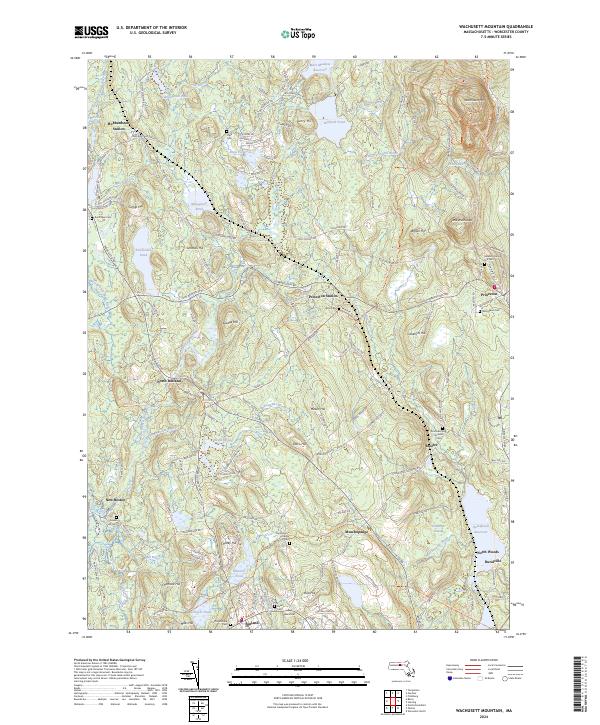
2024 Map of Wachusett Mountain
USGS Topo · Published 2024About this map
Wachusett Mtn and Little Wachusett anchor the high ground of central Worcester County, overlooking a landscape defined by its glacial hydrology and long-established burial grounds. Several small settlements, including Hubbardston Station, Princeton Station, and North Rutland, are linked by a network of historic thoroughfares such as the Old Boston Tpke. The area is notably dense with genealogical sites, from the Meeting House Hill Cem near Princeton to the South Burying Ground Cem and Rural Cem.
Find a feature on this map
168 named features on this map. Tap any name to fly to it.
Don’t see what you’re looking for? This feature index may not catch every label — zoom into the map to look around manually.
Map Details
Editions of this 2024 Wachusett Mountain Map
This is the sole edition of this map. No revisions or reprints were ever made.
Other maps of this area

1885 · Worcester
USGS Topo · 1:62,500

1886 · Worcester
USGS Topo · 1:62,500

1887 · Winchendon
USGS Topo · 1:62,500

1887 · Barre
USGS Topo · 1:62,500

1887 · Fitchburg
USGS Topo · 1:62,500

1889 · Fitchburg
USGS Topo · 1:62,500

1889 · Barre
USGS Topo · 1:62,500

1890 · Winchendon
USGS Topo · 1:62,500

1892 · Worcester
USGS Topo · 1:62,500

1893 · Fitchburg
USGS Topo · 1:62,500