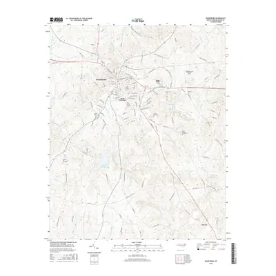
2016 Map of Wadesboro
USGS Topo · Published 2016About this map
Wadesboro serves as the central hub of this 2016 survey, where the town's grid expands into smaller communities like Wade Mills and South Wadesboro. The landscape is defined by the drainages of Goulds Fork and the N Fork Jones Cr, which feed into local reservoirs including Moore Lake and Wadesboro Municipal Lake. For genealogists and local historians, the map is particularly useful for locating numerous community burial grounds, such as Hanna Church Cem and Mount Beaulah Church Cem. The southern portion of the sheet reveals the approach to the town of Morven via Old US Hwy 52, illustrating the corridor's transition from a concentrated urban center to a rural landscape of scattered homesteads and specialized sites like the Hightower Area Plantation Airport.
Find a feature on this map
134 named features on this map. Tap any name to fly to it.
Don’t see what you’re looking for? This feature index may not catch every label — zoom into the map to look around manually.
Map Details
Editions of this 2016 Wadesboro Map
This is the sole edition of this map. No revisions or reprints were ever made.
Other maps of this area

1941 · Spartanburg
USGS Topo · 1:250,000

1942 · Troy
USGS Topo · 1:125,000

1942 · Rockingham
USGS Topo · 1:125,000

1953 · Florence
USGS Topo · 1:250,000

1953 · Raleigh
USGS Topo · 1:250,000

1953 · Spartanburg
USGS Topo · 1:250,000

1953 · Charlotte
USGS Topo · 1:250,000

1954 · Charlotte
USGS Topo · 1:250,000

1954 · Florence
USGS Topo · 1:250,000

1954 · Raleigh
USGS Topo · 1:250,000