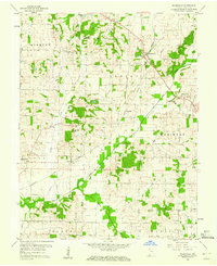
1959 Map of Wadesville
USGS Topo · Published 1960About this map
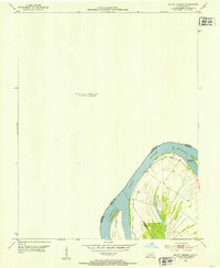
Wadesville serves as the central hub of this late-1950s Posey County landscape, where rural life is defined by a network of small settlements and the Chicago and Eastern Illinois railroad. The terrain is crisscrossed by several winding waterways, including Big Creek, Little Creek, and McAdoo Creek, which drain the agricultural land between the townships of Harmony and Robinson.
Find a feature on this map
25 named features on this map. Tap any name to fly to it.
Don’t see what you’re looking for? This feature index may not catch every label — zoom into the map to look around manually.
Map Details
Editions of this 1959 Wadesville Map
This is the sole edition of this map. No revisions or reprints were ever made.
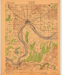
Other maps of this area

1901 · Haubstadt
USGS Topo · 1:62,500

1903 · Haubstadt
USGS Topo · 1:62,500

1903 · New Harmony
USGS Topo · 1:62,500

1903 · Patoka
USGS Topo · 1:125,000

1914 · Henderson
USGS Topo · 1:48,000
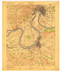
1916 · Henderson
USGS Topo · 1:62,500
1917 · Uniontown
USGS Topo · 1:62,500
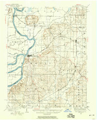
1938 · New Harmony
USGS Topo · 1:62,500
1952 · Mount Vernon
USGS Topo · 1:24,000

1954 · Evansville
USGS Topo · 1:250,000