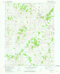
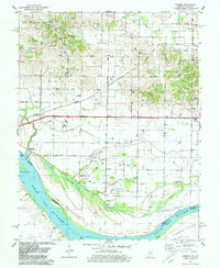
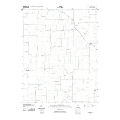
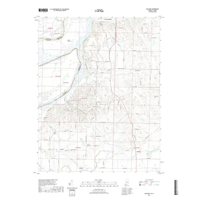
1981 Map of Wadesville
USGS Topo · Published 1981About this map
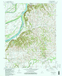
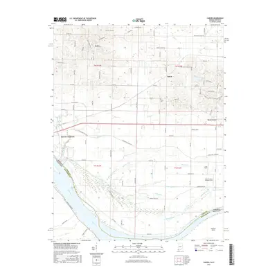
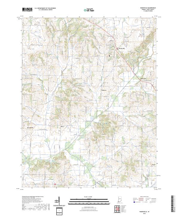
The rolling landscape of Posey County in the early 1980s reveals a patchwork of traditional farming and mid-century energy development. The town of Wadesville serves as a primary hub, while the Louisville and Nashville railroad corridor connects smaller settlements like Blairsville and Hepburn. This era is defined by the significant footprint of the petroleum industry, evidenced by the expansive Oliver Underground Gas Storage Area and numerous Oil Fields scattered throughout townships such as Lynn and Robinson.
Find a feature on this map
35 named features on this map. Tap any name to fly to it.
Don’t see what you’re looking for? This feature index may not catch every label — zoom into the map to look around manually.
Map Details
Editions of this 1981 Wadesville Map
This is the sole edition of this map. No revisions or reprints were ever made.
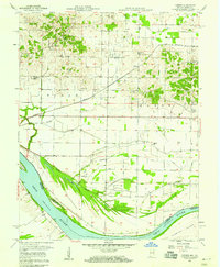
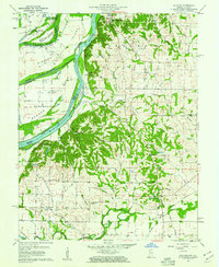
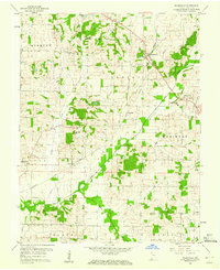
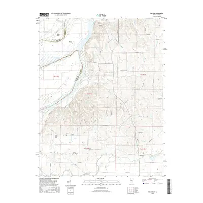
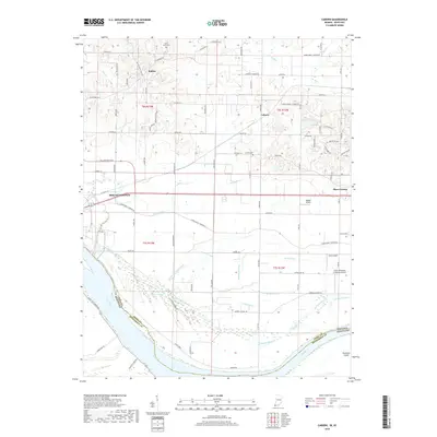
Historical Maps of Oliver Through Time
21 maps found
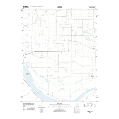
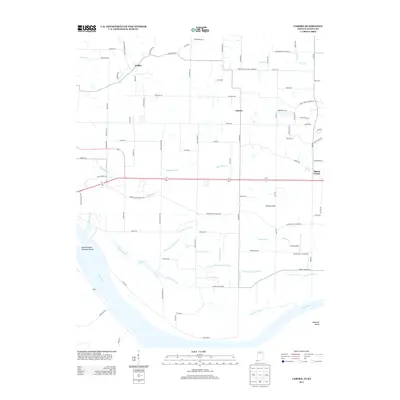
1957 Caborn
Posey County, IN
1959 Solitude
Posey County, IN
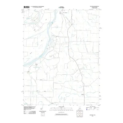
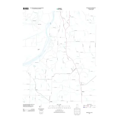
1959 Wadesville
Posey County, IN
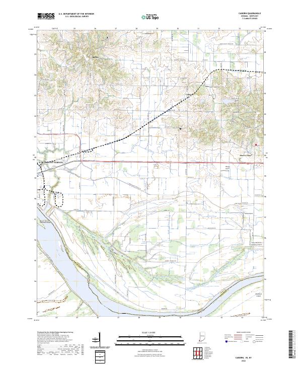
1978 Caborn
Posey County, IN
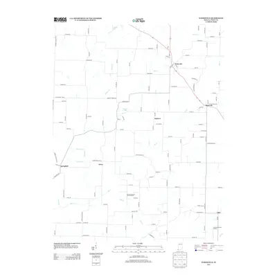
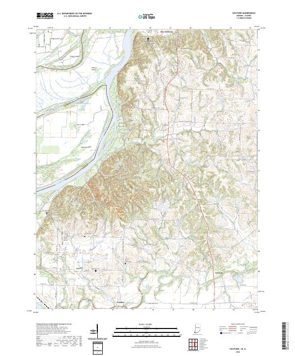
1981 Solitude
Posey County, IN
1981 Wadesville
Posey County, IN
2010 Caborn
Posey County, IN
2010 Solitude
Posey County, IN
2010 Wadesville
Posey County, IN
2013 Caborn
Posey County, IN
2013 Solitude
Posey County, IN
2013 Wadesville
Posey County, IN
2016 Caborn
Posey County, IN
2016 Solitude
Posey County, IN
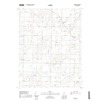
2016 Wadesville
Posey County, IN
2019 Caborn
Posey County, IN
2019 Solitude
Posey County, IN
2019 Wadesville
Posey County, IN
2022 Caborn
Posey County, IN
2022 Solitude
Posey County, IN
2022 Wadesville
Posey County, IN