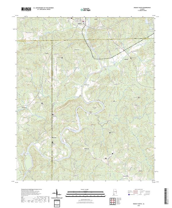
2024 Map of Wadley South
USGS Topo · Published 2024About this map
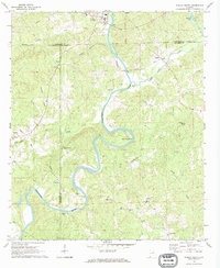
The Tallapoosa River carves a winding path through the center of this landscape, defining the boundaries between Randolph, Tallapoosa, and Chambers counties. The river's historical importance as a transit corridor is evident from the numerous river crossings, including Bishop Ferry, Denny Ferry, and Johnson Ferry, which once linked these rural communities. Notable topographic features like Muleshoe Bend highlight the river's meandering character through the local terrain.
Find a feature on this map
111 named features on this map. Tap any name to fly to it.
Don’t see what you’re looking for? This feature index may not catch every label — zoom into the map to look around manually.
Map Details
Editions of this 2024 Wadley South Map
This is the sole edition of this map. No revisions or reprints were ever made.
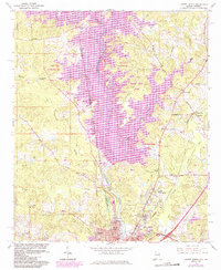
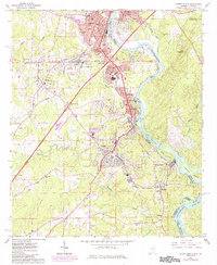
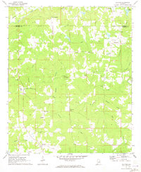
Historical Maps of Abanda Through Time
17 maps found
1964 Lanett North
Chambers County, AL
1964 Lanett South
Chambers County, AL
1969 Milltown
Chambers County, AL
1969 Wadley South
Chambers County, AL
1971 Camp Hill SE
Chambers County, AL

1971 Dudleyville
Chambers County, AL
1971 Lafayette
Chambers County, AL
1971 Moorefield
Chambers County, AL
1981 Camp Hill SE
Chambers County, AL
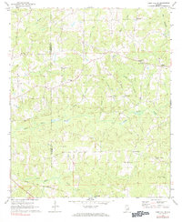
2024 Camp Hill SE
Chambers County, AL
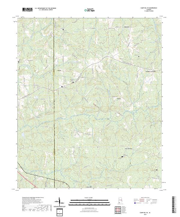
2024 Dudleyville
Chambers County, AL
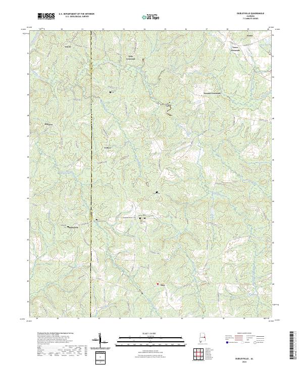
2024 Lafayette
Chambers County, AL
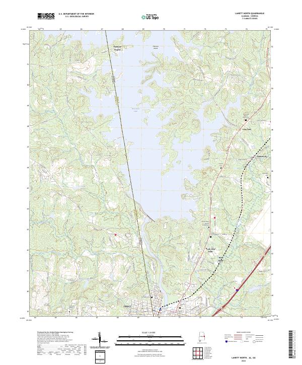
2024 Lanett North
Chambers County, AL
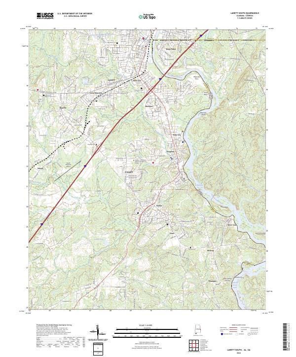
2024 Lanett South
Chambers County, AL
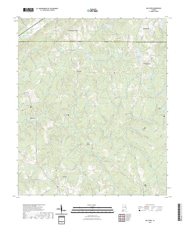
2024 Milltown
Chambers County, AL
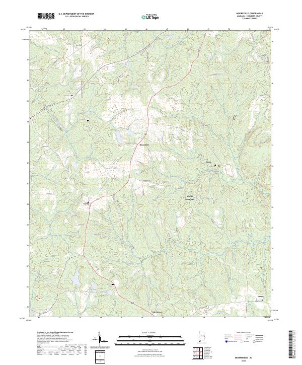
2024 Moorefield
Chambers County, AL
2024 Wadley South
Chambers County, AL