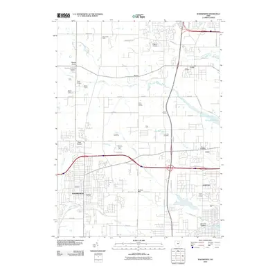
2010 Map of Wadsworth
USGS Topo · Published 2010About this map
Wadsworth and Norton anchor this landscape, where the residential expansion of northeastern Ohio meets established rural communities. The map highlights a series of small, historic settlements including Sharon Center, Clark Corners, and Bates Corners, illustrating the dense network of crossroads that defined the area's development. Local aviation is represented by Lehmann Airport and Ruhlin Airport, while leisure spaces like the Western Reserve Golf Course and Pine Valley Golf Course signify the shift toward suburban recreation.
Find a feature on this map
68 named features on this map. Tap any name to fly to it.
Don’t see what you’re looking for? This feature index may not catch every label — zoom into the map to look around manually.
Map Details
Editions of this 2010 Wadsworth Map
This is the sole edition of this map. No revisions or reprints were ever made.
Other maps of this area

1901 · Massillon
USGS Topo · 1:62,500

1901 · Wooster
USGS Topo · 1:62,500

1903 · Massillon
USGS Topo · 1:62,500

1903 · Wooster
USGS Topo · 1:62,500

1903 · Akron
USGS Topo · 1:62,500

1904 · Medina
USGS Topo · 1:62,500

1905 · Akron
USGS Topo · 1:62,500

1906 · Medina
USGS Topo · 1:62,500

1950 · Cleveland
USGS Topo · 1:250,000

1951 · Canton
USGS Topo · 1:250,000