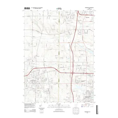
2013 Map of Wadsworth
USGS Topo · Published 2013About this map
Wadsworth and Norton serve as central hubs in this early 21st-century landscape, where residential expansion meets established agricultural and industrial boundaries. The map highlights a transition from dense urban grids to outlying rural properties, exemplified by Bender's Farm and H and H Farm. Waterways like Wolf Cr and Hudson Run drain the terrain, leading toward significant features like the Barberton Reservoir and Loyal Oak Lake. Genealogists will find a wealth of burial sites including Woodlawn Cem, Norton Center Cem, and the Mt Zwingli Cem. The presence of the Blue Sky Drive-In provides a distinct cultural landmark, while the Medina and Summit County line bisects the region, influencing the local layout of roads like Ridgewood Rd and Wadsworth Rd.
Find a feature on this map
39 named features on this map. Tap any name to fly to it.
Don’t see what you’re looking for? This feature index may not catch every label — zoom into the map to look around manually.
Map Details
Editions of this 2013 Wadsworth Map
This is the sole edition of this map. No revisions or reprints were ever made.
Other maps of this area

1901 · Massillon
USGS Topo · 1:62,500

1901 · Wooster
USGS Topo · 1:62,500

1903 · Massillon
USGS Topo · 1:62,500

1903 · Wooster
USGS Topo · 1:62,500

1903 · Akron
USGS Topo · 1:62,500

1904 · Medina
USGS Topo · 1:62,500

1905 · Akron
USGS Topo · 1:62,500

1906 · Medina
USGS Topo · 1:62,500

1950 · Cleveland
USGS Topo · 1:250,000

1951 · Canton
USGS Topo · 1:250,000