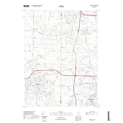
2019 Map of Wadsworth
USGS Topo · Published 2019About this map
Wadsworth and Norton anchor this 2019 survey, illustrating the modern expansion of these communities along the Medina and Summit County line. The landscape is defined by its transition from suburban residential clusters to more open terrain, punctuated by historic burial grounds like Woodlawn Cem and Loyal Oak Cem. Small, persistent settlements such as Western Star and Johnsons Corners appear alongside newer developments, while the northern reaches near Sharon Center retain a more rural character.
Find a feature on this map
65 named features on this map. Tap any name to fly to it.
Don’t see what you’re looking for? This feature index may not catch every label — zoom into the map to look around manually.
Map Details
Editions of this 2019 Wadsworth Map
This is the sole edition of this map. No revisions or reprints were ever made.
Other maps of this area

1901 · Massillon
USGS Topo · 1:62,500

1901 · Wooster
USGS Topo · 1:62,500

1903 · Massillon
USGS Topo · 1:62,500

1903 · Wooster
USGS Topo · 1:62,500

1903 · Akron
USGS Topo · 1:62,500

1904 · Medina
USGS Topo · 1:62,500

1905 · Akron
USGS Topo · 1:62,500

1906 · Medina
USGS Topo · 1:62,500

1950 · Cleveland
USGS Topo · 1:250,000

1951 · Canton
USGS Topo · 1:250,000