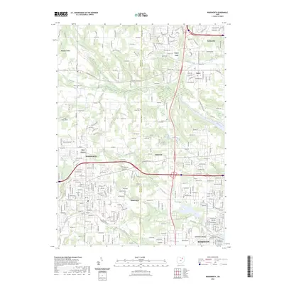
2023 Map of Wadsworth
USGS Topo · Published 2023About this map
Wadsworth and Norton anchor this modern landscape along the divide between Medina and Summit counties. The transition from the rural character of Sharon Center to the suburban density of Fairlawn and Barberton is evident in the dense network of roadways, including Copley Rd and Wadsworth Rd, which follow historical transit corridors. Local genealogy is well-documented through several burial grounds such as Sharon Center Cem, Copley Cem, and Western Star Cem.
Find a feature on this map
45 named features on this map. Tap any name to fly to it.
Don’t see what you’re looking for? This feature index may not catch every label — zoom into the map to look around manually.
Map Details
Editions of this 2023 Wadsworth Map
This is the sole edition of this map. No revisions or reprints were ever made.
Other maps of this area

1901 · Massillon
USGS Topo · 1:62,500

1901 · Wooster
USGS Topo · 1:62,500

1903 · Massillon
USGS Topo · 1:62,500

1903 · Wooster
USGS Topo · 1:62,500

1903 · Akron
USGS Topo · 1:62,500

1904 · Medina
USGS Topo · 1:62,500

1905 · Akron
USGS Topo · 1:62,500

1906 · Medina
USGS Topo · 1:62,500

1950 · Cleveland
USGS Topo · 1:250,000

1951 · Canton
USGS Topo · 1:250,000