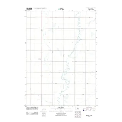
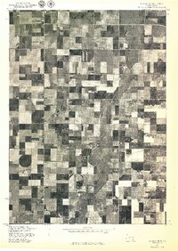
2012 Map of Wagner NE
USGS Topo · Published 2012About this map
Choteau Cr dominates this landscape, winding in a complex, meandering path through the central portion of the quadrangle. The terrain is structured by a rigorous sectional grid including local routes such as 286th St and 396th Ave. This agricultural and prairie region in Charles Mix County maintains a quiet character, with Burks Lake and several smaller wetlands punctuating the prairie. A key focal point for local history and genealogy is the East Lake Andes Lutheran Cem, located along the western portion of the sheet. The map illustrates the persistent intersection of natural water systems and the geometric precision of the American rectangular survey system, which continues to define land use and transportation in this part of South Dakota.
Find a feature on this map
17 named features on this map. Tap any name to fly to it.
Don’t see what you’re looking for? This feature index may not catch every label — zoom into the map to look around manually.
Map Details
Editions of this 2012 Wagner NE Map
This is the sole edition of this map. No revisions or reprints were ever made.
Other maps of this area

1955 · Mitchell
USGS Topo · 1:250,000

1959 · Mitchell
USGS Topo · 1:250,000

1964 · Wagner NE
USGS Topo · 1:24,000

1964 · Ravinia
USGS Topo · 1:24,000

1964 · Wagner
USGS Topo · 1:24,000

1964 · Wagner SW
USGS Topo · 1:24,000
1972 · Dante
USGS Topo · 1:24,000
1977 · Wagner
USGS Topo · 1:24,000
1977 · Wagner SW
USGS Topo · 1:24,000
1977 · Wagner NE
USGS Topo · 1:24,000
Featured Places
- Howard Township, SD
- Plain Center Township, SD
- Independence Township, SD
- Kennedy Township, SD
- Bryan Township, SD