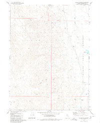
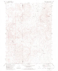
1980 Map of Wagner Springs
USGS Topo · Published 1980About this map
The eastern edge of the Black Rock Desert meets the rising terrain of Humboldt County in this late-twentieth-century study. The landscape is defined by its water sources, with Wagner Springs and several unnamed springs providing vital points of interest in an otherwise arid expanse. Drainage patterns are clearly marked by Mud Meadow Creek and the westward-flowing Willow Creek, while the presence of Wheeler Reservoir suggests efforts to manage the limited water supply for ranching or local use.
Find a feature on this map
26 named features on this map. Tap any name to fly to it.
Don’t see what you’re looking for? This feature index may not catch every label — zoom into the map to look around manually.
Map Details
Editions of this 1980 Wagner Springs Map
2 editions found
Other maps of this area

1889 · Long Valley
USGS Topo · 1:250,000

1954 · Vya
USGS Topo · 1:250,000

1958 · Vya
USGS Topo · 1:250,000

1962 · Vya
USGS Topo · 1:250,000

1972 · Mud Meadow
USGS Topo · 1:24,000

1972 · High Rock Lake
USGS Topo · 1:24,000

1972 · Big Mountain
USGS Topo · 1:24,000
1979 · Double Hot Springs
USGS Topo · 1:24,000
1980 · Clapper Creek
USGS Topo · 1:24,000
1980 · Division Peak
USGS Topo · 1:24,000