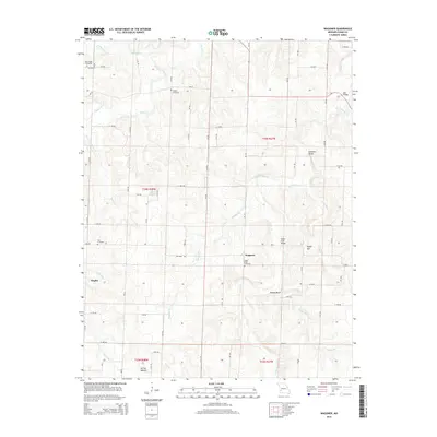
2015 Map of Wagoner
USGS Topo · Published 2015About this map
Wagoner and the small settlement of Tingley anchor this landscape in Cedar County, Missouri. The terrain is defined by a dense network of tributaries including Horse Cr, Cedar Cr, and English Br, which carve through local high points such as Boston Bluff and Hyder Hill. These waterways were historically significant for crossing points, evidenced here by named structures like Hopewell Bridge, Bell Bridge, and the Vasser Ford Bridge.
Find a feature on this map
77 named features on this map. Tap any name to fly to it.
Don’t see what you’re looking for? This feature index may not catch every label — zoom into the map to look around manually.
Map Details
Editions of this 2015 Wagoner Map
This is the sole edition of this map. No revisions or reprints were ever made.
Other maps of this area
1886 · Nevada
USGS Topo · 1:125,000
1886 · Stockton
USGS Topo · 1:125,000
1894 · Nevada
USGS Topo · 1:125,000
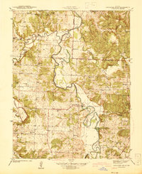
1939 · Caplinger Mills
USGS Topo · 1:24,000
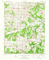
1939 · Filley
USGS Topo · 1:24,000
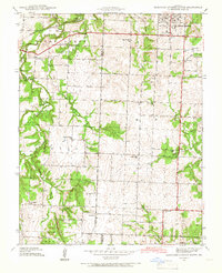
1939 · Eldorado Springs South
USGS Topo · 1:24,000
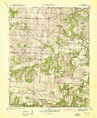
1940 · Filley
USGS Topo · 1:24,000
1941 · Caplinger Mills
USGS Topo · 1:24,000
1942 · Eldorado Springs South
USGS Topo · 1:24,000

1947 · Joplin
USGS Topo · 1:250,000