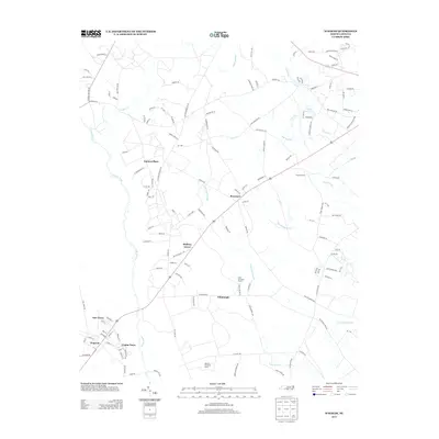
2013 Map of Wagram
USGS Topo · Published 2013About this map
The Lumber River and its associated wetlands define the agricultural and residential landscape of this Hoke County region. The community of Wagram serves as a primary hub, flanked by smaller named clusters like New Town and Crump Town. This 2013 survey illustrates how settlement patterns follow the corridor of major roads, connecting established locales such as Bowmore, Hickory Grove, and Edinburgh.
Find a feature on this map
134 named features on this map. Tap any name to fly to it.
Don’t see what you’re looking for? This feature index may not catch every label — zoom into the map to look around manually.
Map Details
Editions of this 2013 Wagram Map
This is the sole edition of this map. No revisions or reprints were ever made.
Other maps of this area

1948 · Southern Pines
USGS Topo · 1:62,500

1948 · Clifdale
USGS Topo · 1:62,500

1948 · Pinebluff
USGS Topo · 1:24,000

1948 · Nicholson Creek
USGS Topo · 1:24,000

1948 · Mc Cain
USGS Topo · 1:24,000

1949 · Wagram
USGS Topo · 1:24,000

1949 · Laurinburg
USGS Topo · 1:24,000

1949 · Silver Hill
USGS Topo · 1:24,000

1949 · Wakulla
USGS Topo · 1:24,000

1949 · Laurinburg
USGS Topo · 1:62,500