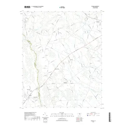
2019 Map of Wagram
USGS Topo · Published 2019About this map
Raft Swamp and its numerous tributaries, including Big Middle Swamp and Little Raft Swamp, dominate this landscape at the border of Hoke and Scotland counties. The Laurinburg & Southern RR runs through the heart of the region, connecting the established community of Raeford in the northeast to the smaller settlements of Bowmore, Edinburgh, and Wagram. This network of rail and road suggests a legacy of agrarian and timber transport through the low-lying wetlands.
Find a feature on this map
120 named features on this map. Tap any name to fly to it.
Don’t see what you’re looking for? This feature index may not catch every label — zoom into the map to look around manually.
Map Details
Editions of this 2019 Wagram Map
This is the sole edition of this map. No revisions or reprints were ever made.
Other maps of this area

1948 · Southern Pines
USGS Topo · 1:62,500

1948 · Clifdale
USGS Topo · 1:62,500

1948 · Pinebluff
USGS Topo · 1:24,000

1948 · Nicholson Creek
USGS Topo · 1:24,000

1948 · Mc Cain
USGS Topo · 1:24,000

1949 · Wagram
USGS Topo · 1:24,000

1949 · Laurinburg
USGS Topo · 1:24,000

1949 · Silver Hill
USGS Topo · 1:24,000

1949 · Wakulla
USGS Topo · 1:24,000

1949 · Laurinburg
USGS Topo · 1:62,500