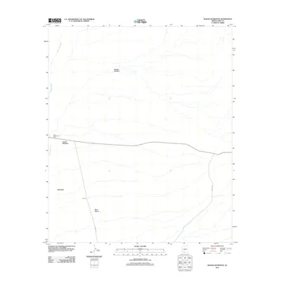
2011 Map of Wahak Hotrontk
USGS Topo · Published 2011About this map
Wahak Hotrontk serves as a primary point of reference in this desert landscape of Pima County, positioned along the west-to-east road network. The terrain is defined by the broad drainage of the San Simon Wash, which moves across the western portion of the quadrangle. Small settlements and specialized sites such as Komak Wuacho, Stotonyak, and the Tracy Maintenance Camp are scattered across the arid expanse, connected by a series of regional routes including Indian Rt 132 and Indian Rte 21. These roads link isolated landmarks like Tatnick and Ahan Owuch, illustrating the sparse but organized settlement pattern within the Pisinemo District. The map provides a precise view of the infrastructure and seasonal watercourses as they existed in the early 21st century.
Find a feature on this map
9 named features on this map. Tap any name to fly to it.
Don’t see what you’re looking for? This feature index may not catch every label — zoom into the map to look around manually.
Map Details
Editions of this 2011 Wahak Hotrontk Map
This is the sole edition of this map. No revisions or reprints were ever made.
Other maps of this area

1953 · Ajo
USGS Topo · 1:250,000

1957 · Ajo
USGS Topo · 1:250,000

1958 · Ajo
USGS Topo · 1:250,000

1962 · Ajo
USGS Topo · 1:250,000

1963 · Ajo
USGS Topo · 1:250,000

1963 · Gu Achi
USGS Topo · 1:62,500

1963 · Quijotoa Mts
USGS Topo · 1:62,500

1963 · Cimarron Peak
USGS Topo · 1:62,500

1963 · Pisinimo
USGS Topo · 1:62,500

1967 · Ajo
USGS Topo · 1:250,000
Featured Places
- Komak Wuacho, Pisinemo District
- Pisinemo District, AZ
- Ahan Owuch, Pisinemo District
- Stotonyak, Pisinemo District
- Wahak Hotrontk, Pisinemo District