2021 Map of Wahak Hotrontk
USGS Topo · Published 2021About this map
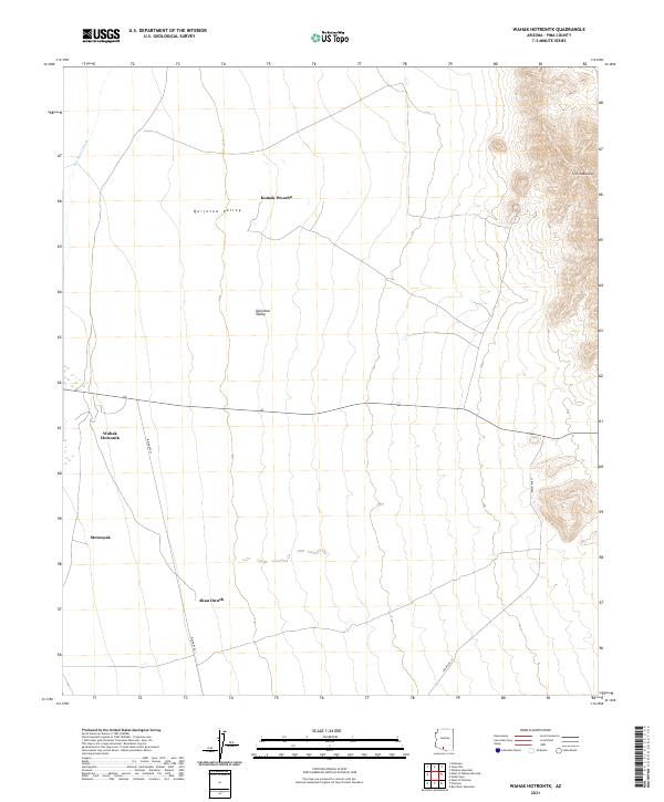
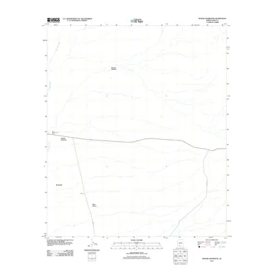
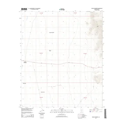
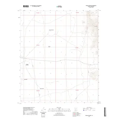
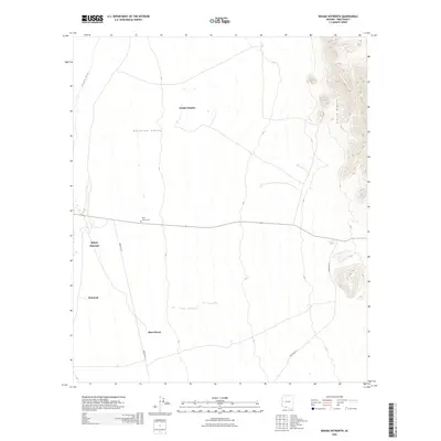
Quijotoa Valley dominates this desert landscape, characterized by the broad, low-lying drainage of San Simon Wash flowing through the western portion of the region. This 2021 survey documents several remote settlements including Wahak Hotrontk and Stotonyak in the southwest, and Komak Wuacho to the north. The terrain transitions from the valley floor to the prominent heights of Sierra Blanca in the northeast, where the elevation rises sharply against the desert basin. Ahan Owuch is situated in the southern reaches, connected by the primary transit corridor of Indian Rte 21. The map provides a clear record of these modern Tohono O'odham Nation communities and the land-use patterns defined by the stark topography of the Arizona desert.
Find a feature on this map
14 named features on this map. Tap any name to fly to it.
Don’t see what you’re looking for? This feature index may not catch every label — zoom into the map to look around manually.
Map Details
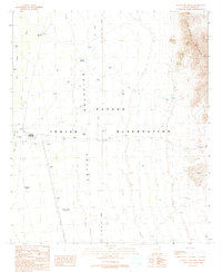
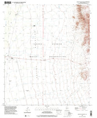
Editions of this 2021 Wahak Hotrontk Map
This is the sole edition of this map. No revisions or reprints were ever made.
Historical Maps of Komak Wuacho Through Time
7 maps found
Featured Locations
- Pisinemo District, AZ
- Komak Wuacho, Pisinemo District
- Stotonyak, Pisinemo District
- Wahak Hotrontk, Pisinemo District
- Ahan Owuch, Pisinemo District