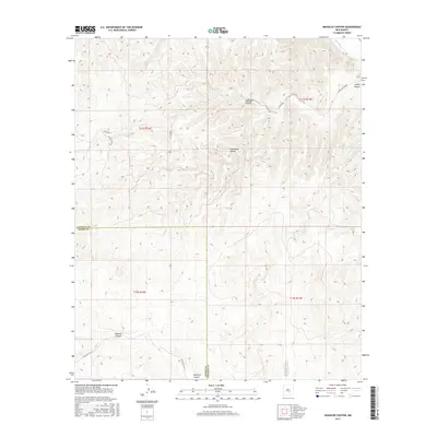
2017 Map of Wahalee Canyon
USGS Topo · Published 2017About this map
Rio Hondo flows through the northeastern corner of this high-country landscape, where the Lincoln County and Otero County line zig-zags across a series of deep drainage systems. The terrain is defined by dramatic elevation changes, with major landforms like Wahalee Canyon and Alamo Canyon cutting through the limestone and brush. Infrastructure is sparse, concentrated primarily along a few established corridors such as Alamo Canyon Rd and Co Rd E024, which provide access to the remote uplands. In the southern portion of the sheet, Pajarita Canyon and Maverick Canyon show the continued pattern of steep relief, while Indian Svc Rte 31 marks a vital access point for travel through the tribal lands and ranching country. The presence of Half Moon Valley offers a rare break in the vertical topography, illustrating the complex geography of this section of the Sacramento Mountains.
Find a feature on this map
16 named features on this map. Tap any name to fly to it.
Don’t see what you’re looking for? This feature index may not catch every label — zoom into the map to look around manually.
Map Details
Editions of this 2017 Wahalee Canyon Map
This is the sole edition of this map. No revisions or reprints were ever made.
Other maps of this area

1955 · Roswell
USGS Topo · 1:250,000

1958 · Roswell
USGS Topo · 1:250,000

1961 · Flying H
USGS Topo · 1:62,500

1961 · Lincoln
USGS Topo · 1:62,500

1961 · Tinnie
USGS Topo · 1:62,500

1962 · Roswell
USGS Topo · 1:250,000

1963 · Deadman Lake
USGS Topo · 1:24,000
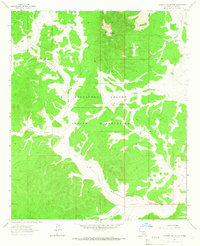
1963 · Pajarita Mountain
USGS Topo · 1:24,000

1984 · Ruidoso
USGS Topo · 1:100,000
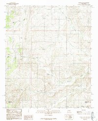
1989 · Flying H NW
USGS Topo · 1:24,000