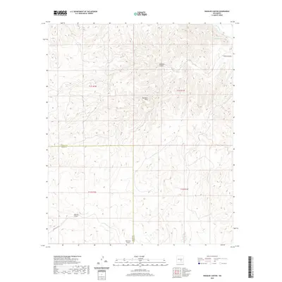
2020 Map of Wahalee Canyon
USGS Topo · Published 2020About this map
Wahalee Canyon and the surrounding high-elevation terrain of the Sacramento Mountains define this 2020 landscape on the border of Otero and Lincoln Counties. The topography is deeply incised by a network of drainages, including Half Moon Valley and Camaleon Draw in the northeast, which feed toward the Rio Hondo. This modern topographic study reveals a largely uninhabited region characterized by steep elevation changes and isolated canyons like Alamo Canyon and Pajarita Canyon.
Find a feature on this map
14 named features on this map. Tap any name to fly to it.
Don’t see what you’re looking for? This feature index may not catch every label — zoom into the map to look around manually.
Map Details
Editions of this 2020 Wahalee Canyon Map
This is the sole edition of this map. No revisions or reprints were ever made.
Other maps of this area

1955 · Roswell
USGS Topo · 1:250,000

1958 · Roswell
USGS Topo · 1:250,000

1961 · Flying H
USGS Topo · 1:62,500

1961 · Lincoln
USGS Topo · 1:62,500

1961 · Tinnie
USGS Topo · 1:62,500

1962 · Roswell
USGS Topo · 1:250,000

1963 · Deadman Lake
USGS Topo · 1:24,000
1963 · Pajarita Mountain
USGS Topo · 1:24,000

1984 · Ruidoso
USGS Topo · 1:100,000
1989 · Flying H NW
USGS Topo · 1:24,000