
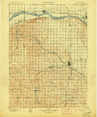
1899 Map of Wahoo
USGS Topo · Published 1899About this map
Wahoo serves as the central hub of this late 19th-century landscape, positioned at a critical junction of several rail lines that fueled the region's agricultural growth. The Platte River defines the northern boundary, its wide channel accompanied by the Union Pacific R. R. main line and settlements like North Bend and Ames. To the south, the topography transitions into a network of creek valleys, including Skull Creek, Cottonwood Creek, and Silver Creek, which dictated the placement of small prairie towns and farming communities.
Find a feature on this map
86 named features on this map. Tap any name to fly to it.
Don’t see what you’re looking for? This feature index may not catch every label — zoom into the map to look around manually.
Map Details
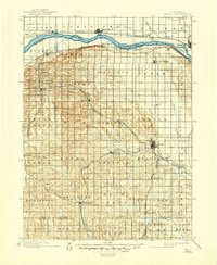
Editions of this 1899 Wahoo Map
3 editions found
Other maps of this area

1893 · Fremont
USGS Topo · 1:125,000

1896 · Fremont
USGS Topo · 1:125,000

1897 · Lincoln
USGS Topo · 1:125,000

1899 · David City
USGS Topo · 1:125,000

1903 · Weeping Water
USGS Topo · 1:125,000

1929 · Weeping Water
USGS Topo · 1:125,000

1934 · Seward
USGS Topo · 1:48,000

1939 · Seward
USGS Topo · 1:62,500

1955 · Fremont
USGS Topo · 1:250,000

1955 · Lincoln
USGS Topo · 1:250,000