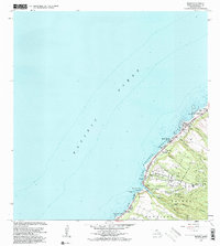
1983 Map of Waimea
USGS Topo · Published 1983About this map
Waimea Bay and the surrounding coastline of Oahu's North Shore define this 1983 revision, which captures the area's mix of cultural heritage and academic research. The settlement of Waimea sits at the mouth of the Waimea River, where the Kupupolo Heiau serves as a reminder of the landscape's deep significance long before modern surveying. Farther inland, the terrain climbs toward the Pupukea-Paumalu Forest Reserve, while the northern reaches include the University of Hawaii Agricultural Experiment Station near Waialee.
Find a feature on this map
41 named features on this map. Tap any name to fly to it.
Don’t see what you’re looking for? This feature index may not catch every label — zoom into the map to look around manually.
Map Details
Editions of this 1983 Waimea Map
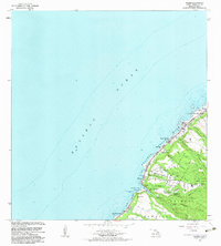
2 editions found
Other maps of this area

1952 · Waimea
USGS Topo · 1:24,000

1953 · Haleiwa
USGS Topo · 1:24,000

1953 · Hauula
USGS Topo · 1:24,000

1954 · Oahu
USGS Topo · 1:250,000

1954 · Kahuku
USGS Topo · 1:24,000

1954 · Kaena
USGS Topo · 1:24,000

1960 · Haleiwa
USGS Topo · 1:24,000

1961 · Oahu
USGS Topo · 1:250,000
1964 · Kaena
USGS Topo · 1:24,000

1965 · Oahu
USGS Topo · 1:250,000