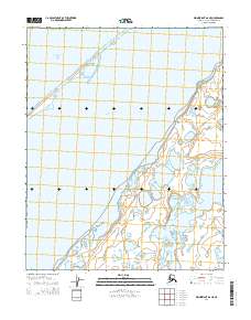
2014 Map of Wainwright A-6 NE
USGS Topo · Published 2014About this map
Solivik Island and the thin barrier beaches of the Chukchi Sea define this coastal Arctic landscape. This 2014 survey captures a dynamic interface of water and low-lying land along the North Slope, where the massive Kasegaluk Lagoon is separated from the open sea by narrow strips of silt and sand. The interior is a complex network of thaw lakes and coastal marshes, punctuated by Avak Inlet in the southeast. This environment, detailed by the USGS, reflects a landscape shaped by seasonal ice and permafrost, illustrating the delicate geography of the Wainwright region before modern climate shifts further alter these shorelines.
Find a feature on this map
8 named features on this map. Tap any name to fly to it.
Don’t see what you’re looking for? This feature index may not catch every label — zoom into the map to look around manually.
Map Details
Editions of this 2014 Wainwright A-6 NE Map
This is the sole edition of this map. No revisions or reprints were ever made.
Other maps of this area

1951 · Wainwright
USGS Topo · 1:250,000

1955 · Wainwright
USGS Topo · 1:250,000
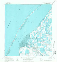
1955 · Wainwright A-6 and A-7
USGS Topo · 1:63,360
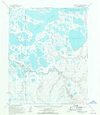
1955 · Wainwright A-5
USGS Topo · 1:63,360
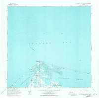
1955 · Wainwright B-5 and B-6
USGS Topo · 1:63,360

1964 · Wainwright
USGS Topo · 1:250,000
2014 · Wainwright B-6 SE
USGS Topo · 1:25,000
2014 · Wainwright B-5 SW
USGS Topo · 1:25,000
2014 · Wainwright A-6 SW
USGS Topo · 1:25,000
2014 · Wainwright A-6 NW
USGS Topo · 1:25,000