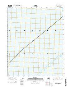
2014 Map of Wainwright B-6 SE
USGS Topo · Published 2014About this map
Chukchi Sea waters dominate this remote coastal survey, illustrating the maritime boundary where the open sea meets the fragile barrier island systems of northern Alaska. The map centers on the narrow stretch of Sullivik Island, a landform that separates the primary ocean from the protected Kasegaluk Lagoon. This area within the North Slope Borough shows the complex relationship between the Arctic shoreline and the inland waters of the lagoon, which serves as a critical ecosystem in this high-latitude environment. The absence of roads or permanent structures underscores the isolation of this coastal strip, where surveying focuses on the precise mapping of the island chain and the navigable waters surrounding it.
Find a feature on this map
7 named features on this map. Tap any name to fly to it.
Don’t see what you’re looking for? This feature index may not catch every label — zoom into the map to look around manually.
Map Details
Editions of this 2014 Wainwright B-6 SE Map
This is the sole edition of this map. No revisions or reprints were ever made.
Other maps of this area

1951 · Wainwright
USGS Topo · 1:250,000

1955 · Wainwright
USGS Topo · 1:250,000
1955 · Wainwright A-6 and A-7
USGS Topo · 1:63,360
1955 · Wainwright A-5
USGS Topo · 1:63,360
1955 · Wainwright B-5 and B-6
USGS Topo · 1:63,360

1964 · Wainwright
USGS Topo · 1:250,000
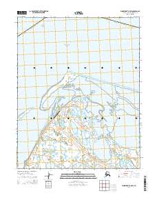
2014 · Wainwright B-5 SW
USGS Topo · 1:25,000
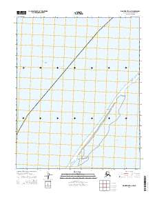
2014 · Wainwright A-6 NW
USGS Topo · 1:25,000
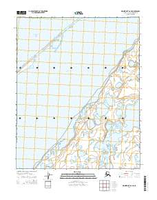
2014 · Wainwright A-6 NE
USGS Topo · 1:25,000
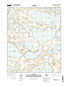
2014 · Wainwright A-5 NW
USGS Topo · 1:25,000