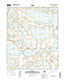
2014 Map of Wainwright A-5 NW
USGS Topo · Published 2014About this map
Chukchi Sea dominates this arctic coastal landscape, where the shifting boundary between marine and freshwater environments is intricately mapped. The vast waters of the Avak Inlet and the meandering path of the Tunalik River define the local hydrography, set within the surveyor grids of t10n r40w and t9n r39w. This 2014 survey documents a land of thaw-lake plains and coastal wetlands in the North Slope Borough, capturing the precise shoreline and water levels of the period. Researchers of arctic geography can examine the complex network of unnamed tundra lakes and lagoons that surround the primary waterways, providing a baseline for studying coastal erosion and environmental change in this remote northern reaches of Alaska.
Find a feature on this map
7 named features on this map. Tap any name to fly to it.
Don’t see what you’re looking for? This feature index may not catch every label — zoom into the map to look around manually.
Map Details
Editions of this 2014 Wainwright A-5 NW Map
This is the sole edition of this map. No revisions or reprints were ever made.
Other maps of this area

1951 · Wainwright
USGS Topo · 1:250,000

1955 · Wainwright
USGS Topo · 1:250,000
1955 · Wainwright A-6 and A-7
USGS Topo · 1:63,360
1955 · Wainwright A-5
USGS Topo · 1:63,360
1955 · Wainwright B-5 and B-6
USGS Topo · 1:63,360

1964 · Wainwright
USGS Topo · 1:250,000
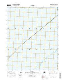
2014 · Wainwright B-6 SE
USGS Topo · 1:25,000
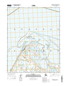
2014 · Wainwright B-5 SW
USGS Topo · 1:25,000
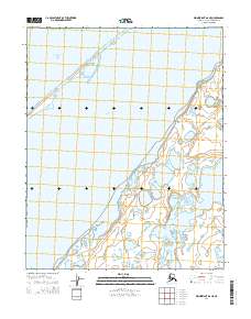
2014 · Wainwright A-6 NE
USGS Topo · 1:25,000
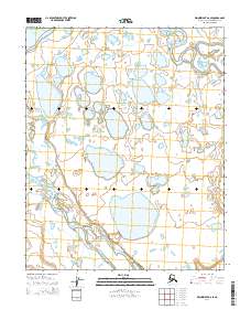
2014 · Wainwright A-6 SE
USGS Topo · 1:25,000