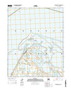
2014 Map of Wainwright B-5 SW
USGS Topo · Published 2014About this map
Chukchi Sea waters meet the northwestern edge of the Arctic coast at Icy Cape, a prominent landform defining this maritime landscape. The map details a complex system of barrier islands and inlets, including Icy Cape Pass, which provides access to the sheltered Kasegaluk Lagoon. This area of the Alaska North Slope Borough is characterized by its low-lying coastal tundra and strategic aviation infrastructure. The presence of the Icy Cape AFS Airport highlights the remote region's history with defense and communication networks. Farther offshore, the submerged hazards of Blossom Shoals are noted, illustrating the navigational challenges inherent to these northern waters.
Find a feature on this map
12 named features on this map. Tap any name to fly to it.
Don’t see what you’re looking for? This feature index may not catch every label — zoom into the map to look around manually.
Map Details
Editions of this 2014 Wainwright B-5 SW Map
This is the sole edition of this map. No revisions or reprints were ever made.
Other maps of this area

1951 · Wainwright
USGS Topo · 1:250,000

1955 · Wainwright
USGS Topo · 1:250,000
1955 · Wainwright A-6 and A-7
USGS Topo · 1:63,360
1955 · Wainwright A-5
USGS Topo · 1:63,360
1955 · Wainwright B-5 and B-6
USGS Topo · 1:63,360

1964 · Wainwright
USGS Topo · 1:250,000
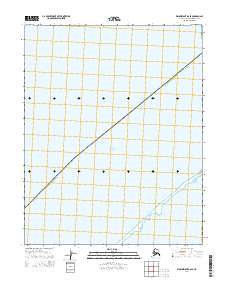
2014 · Wainwright B-6 SE
USGS Topo · 1:25,000
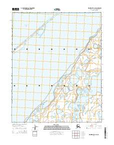
2014 · Wainwright A-6 NE
USGS Topo · 1:25,000
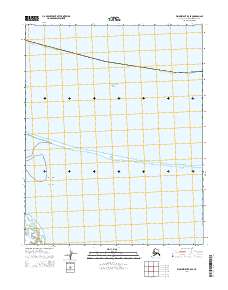
2014 · Wainwright B-5 SE
USGS Topo · 1:25,000
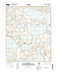
2014 · Wainwright A-5 NW
USGS Topo · 1:25,000