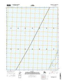
2014 Map of Wainwright A-7 SE
USGS Topo · Published 2014About this map
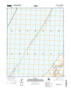
The Chukchi Sea dominates this arctic coastal landscape along the northwestern edge of the North Slope Borough Alaska. This coastal environment is defined by the narrow barrier between the open sea and the protected waters of Kasegaluk Lagoon in the southeastern corner. The map illustrates the minimal landmass of this remote stretch, where the shoreline is a thin thread of terrestrial life against the expansive waters. Land tenure and administrative organization are marked by the presence of Public Land Survey System grids, specifically t9n r42w and t8n r43w, which delineate the territory even in this nearly uninhabited reach. The transition from the sea to the lagoon suggests a complex coastal dynamic vital to the region's natural history and the subsistence patterns of the indigenous communities that navigate these waters.
Find a feature on this map
5 named features on this map. Tap any name to fly to it.
Don’t see what you’re looking for? This feature index may not catch every label — zoom into the map to look around manually.
Map Details
Editions of this 2014 Wainwright A-7 SE Map
This is the sole edition of this map. No revisions or reprints were ever made.
Other maps of this area

1951 · Wainwright
USGS Topo · 1:250,000

1951 · Point Lay
USGS Topo · 1:250,000

1955 · Wainwright
USGS Topo · 1:250,000

1955 · Point Lay
USGS Topo · 1:250,000
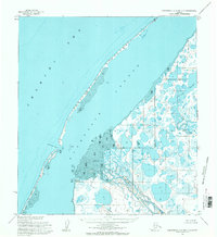
1955 · Wainwright A-6 and A-7
USGS Topo · 1:63,360
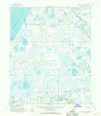
1955 · Point Lay D-1
USGS Topo · 1:63,360
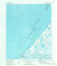
1955 · Point Lay D-2
USGS Topo · 1:63,360

1964 · Wainwright
USGS Topo · 1:250,000

1965 · Point Lay
USGS Topo · 1:250,000
2014 · Point Lay D-2 NE
USGS Topo · 1:25,000