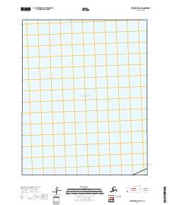
2018 Map of Wainwright B-4 NW
USGS Topo · Published 2018About this map
Chukchi Sea waters dominate this coastal map of the North Slope, where the marine environment meets the Alaskan shore. The map illustrates a largely maritime expanse, defined by the vast waters of the Arctic Ocean. Along the eastern edge of the quadrangle, the t12n r36w township lines mark the boundary where land begins, partitioned into survey sections including 6, 7, 18, and 19. This 2018 survey serves as a clean record of the coastline before the landscape is further altered by shifting northern currents or environmental changes, providing a clear reference of the Public Land Survey System boundaries against the sea.
Find a feature on this map
6 named features on this map. Tap any name to fly to it.
Don’t see what you’re looking for? This feature index may not catch every label — zoom into the map to look around manually.
Map Details
Editions of this 2018 Wainwright B-4 NW Map
This is the sole edition of this map. No revisions or reprints were ever made.
Other maps of this area

1951 · Wainwright
USGS Topo · 1:250,000

1955 · Wainwright
USGS Topo · 1:250,000
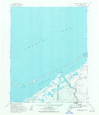
1955 · Wainwright B-4
USGS Topo · 1:63,360
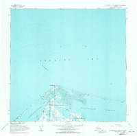
1955 · Wainwright B-5 and B-6
USGS Topo · 1:63,360

1964 · Wainwright
USGS Topo · 1:250,000
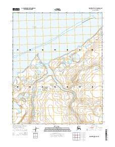
2014 · Wainwright B-4 SE
USGS Topo · 1:25,000
2014 · Wainwright B-4 SW
USGS Topo · 1:25,000
2014 · Wainwright B-5 SE
USGS Topo · 1:25,000
2014 · Wainwright B-4 NE
USGS Topo · 1:25,000